Dear fisherman,
We assume that you have familiarized yourself with the boat rental conditions and fishing rules on our fishing page and have obtained a personal fishing permit.
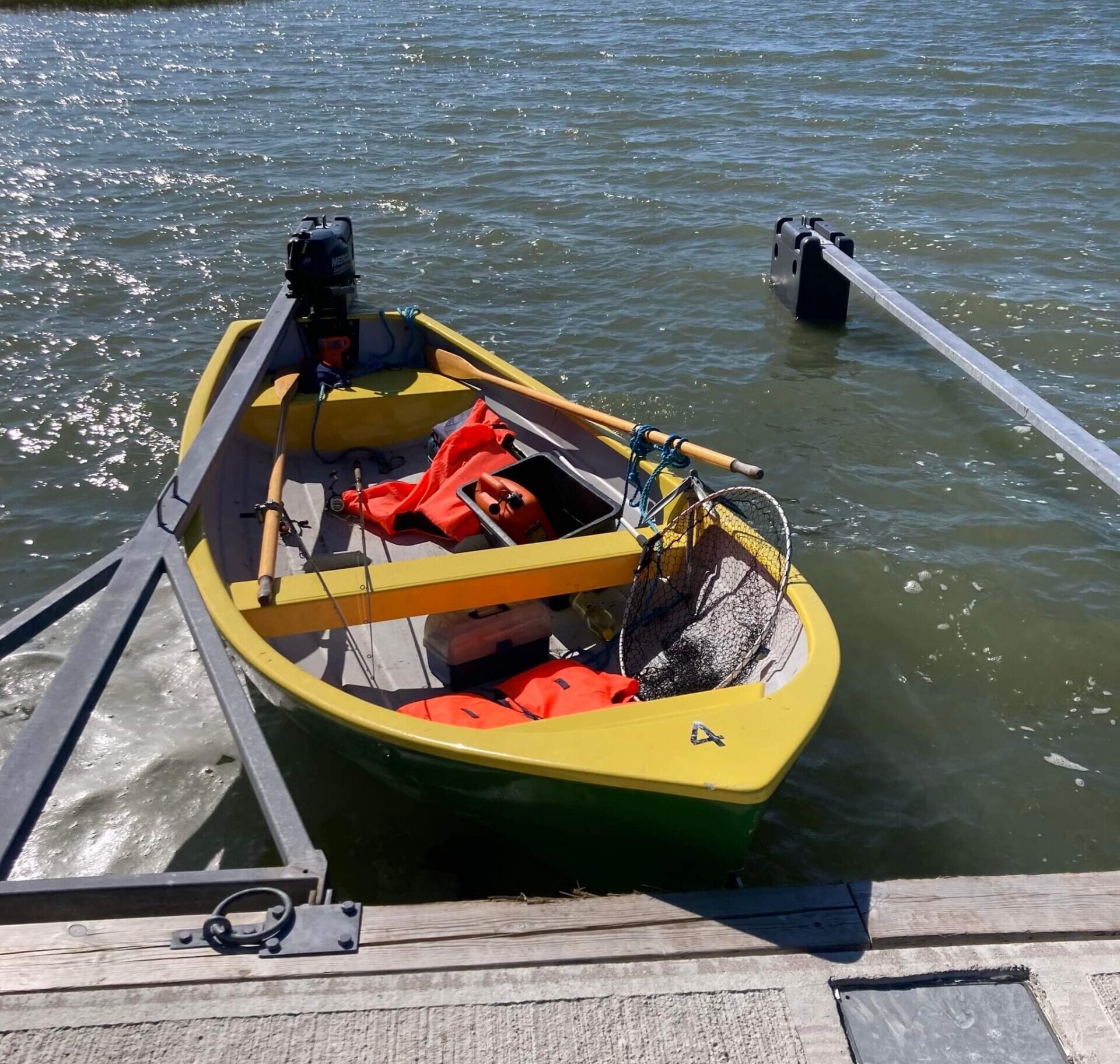
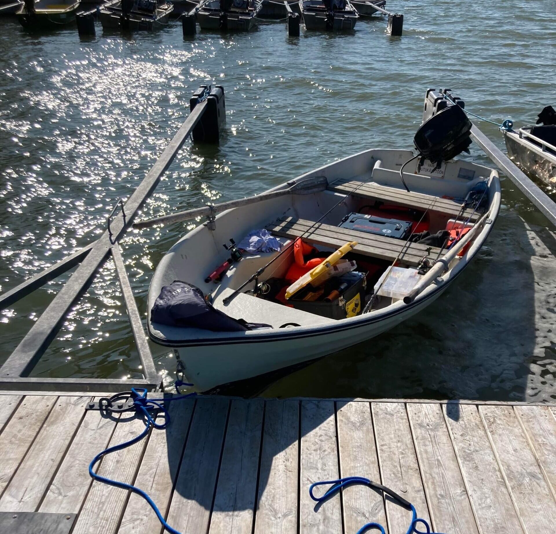
Here we have collected some important information for fishermen only. Of course, we will add if some important information rises and we will be happy if you can help with that.
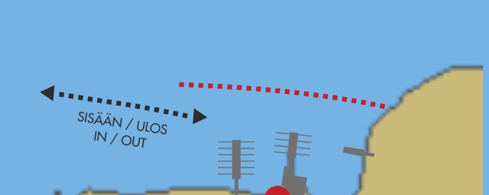
The seabed of our bay is mostly less than 3 meters deep, this is why it’s uncharted, one map also shows the “stone experience” of the owner. Please, use the Google Maps satellite view to estimate depth and follow the in-out directions shown on the map.
In the spring, it’s good to monitor the ice conditions, and the Sentinel Hub is a suitable tool for that. If it doesn’t open in the right place, put our address: Koivulantie 198, 23450 Uusikaupunki, Finland.
The editors of the Estonian “Kalastaja”(Fisherman) magazine have visited us a couple of times, and we are happy to share with you the result of it as the coordinates of the perch spots:
• N 60°44’34.6″, E 21°20’55.3″
• N 60°44’17.9″, E 21°19’49.6″
• N 60°44’4.1″, E 21°18’58.6″
• N 60°43’34.2″, E 21°18’39.5″
• N 60°43’8.4″, E 21°18’50.8″
• N 60°43’33.5″, E 21°25’37.8”


")
")
")